Insights for urban wildlife management.
Metrofauna turns a city's existing cameras into a 24/7 wildlife monitoring system on one simple dashboard — giving officials the tools for smart, data-based wildlife management and human–wildlife conflict mitigation in urban areas.
Keep wildlife wild, and cities safe.

Cities stuck reacting
From reactive to proactive: data-based management.
Wildlife moves through our cities every night — creating conflict and nuisance, damaging property, spreading disease, causing vehicle collisions, and sometimes even behaving aggressively toward residents. Yet today, most municipalities only find out after something goes wrong: a complaint, an injured animal, a raided bin, a call for help. There's no data, no early warning, and no way to plan ahead, secure budgets, and allocate them where they'll actually help. There's only a reaction.
Metrofauna gives cities continuous data about their wildlife, alongside ecological insights. This data-backed information allows the city to become proactive — to lead rather than be led.
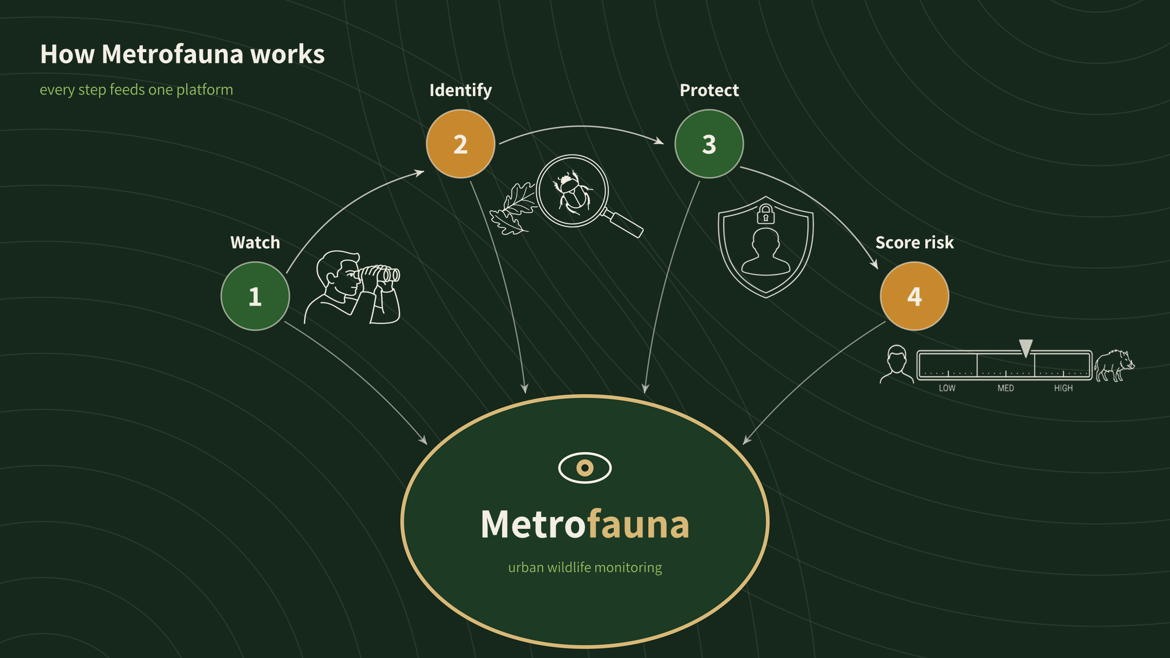
How Metrofauna works
Our specialty
How we turn detections into decisions.
Spotting and identifying the animals is just the first step. But which of these observations matter more?
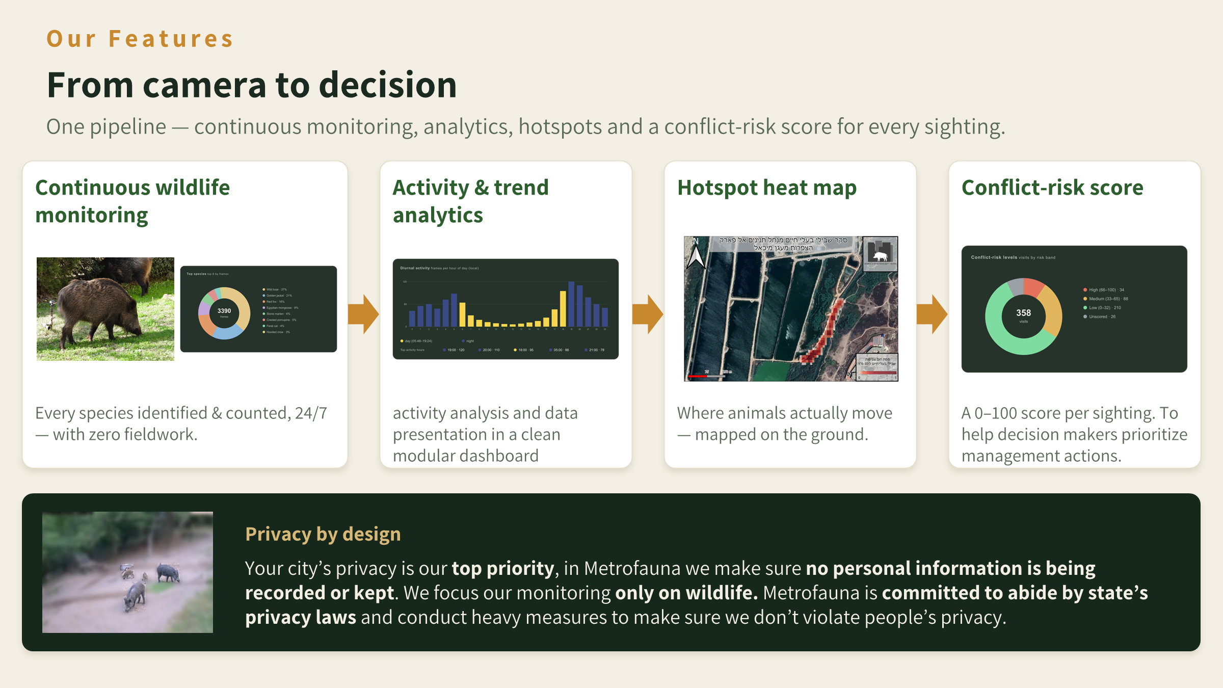
Metrofauna's special human–wildlife conflict score uses several factors to assess the severity of the human–wildlife conflict for every event, and turns that into one clear risk rating. It's grounded in published ecology, calibrated to each city, and it's what makes Metrofauna a decision tool, not just a camera. Long-term trend analysis of this risk rating also allows us to predict areas prone to conflict — and possibly prevent the complaint before it even happens.
From camera to decision
Trust
Built to be trusted.
Privacy isn't an afterthought — it's in the design. Metrofauna applies several privacy algorithms and features that are in line with the relevant state's law and beyond, to make sure privacy and security stay our top priority.
For researchers & partners
A living dataset for science and conservation.
Metrofauna generates large, standardised field data collected continuously, with no field crews. At Metrofauna we believe wildlife research and management should go hand in hand: giving researchers and conservation groups a clean, ready-to-analyse stream of data on an easy-to-use platform.
About Metrofauna
The story behind Metrofauna.
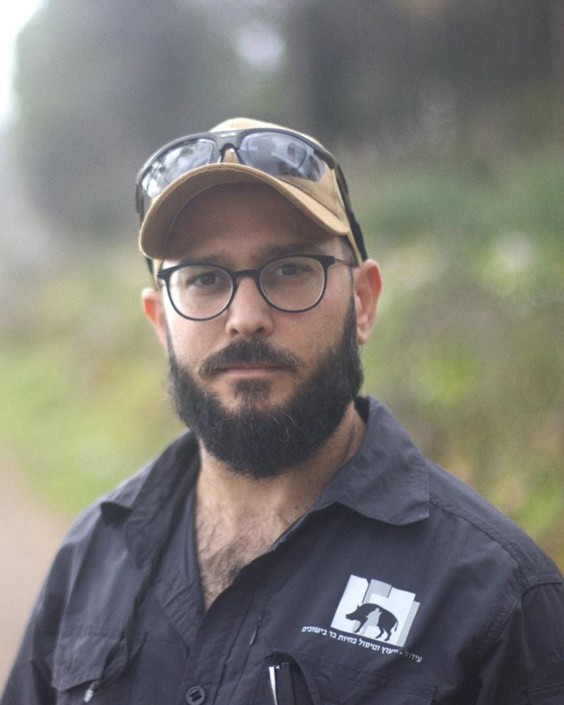
Ido Gal
Founder & Lead Developer
Hi, I'm Ido — a wildlife ecologist, former ranger, and urban human–wildlife conflict consultant. With a B.Sc. in Animal Sciences and an M.Sc. in Ecology, Conservation, and Wildlife Population Management, I bring over 16 years of rich experience in active fieldwork and ecological data analysis.
Metrofauna was born directly from that experience. The lack of significant and reliable datasets to help manage wildlife populations and human–wildlife conflicts always baffled me. As wildlife continues to expand into cities globally, the need for a proactive, data-driven approach has never been more dire. Metrofauna seeks to fill this gap and provide municipal officials and wildlife managers with empowering tools to take control.
Get in touch
Let's talk.
Whether you're a municipality, a researcher, or a potential partner — we'd love to show you what Metrofauna can do.